
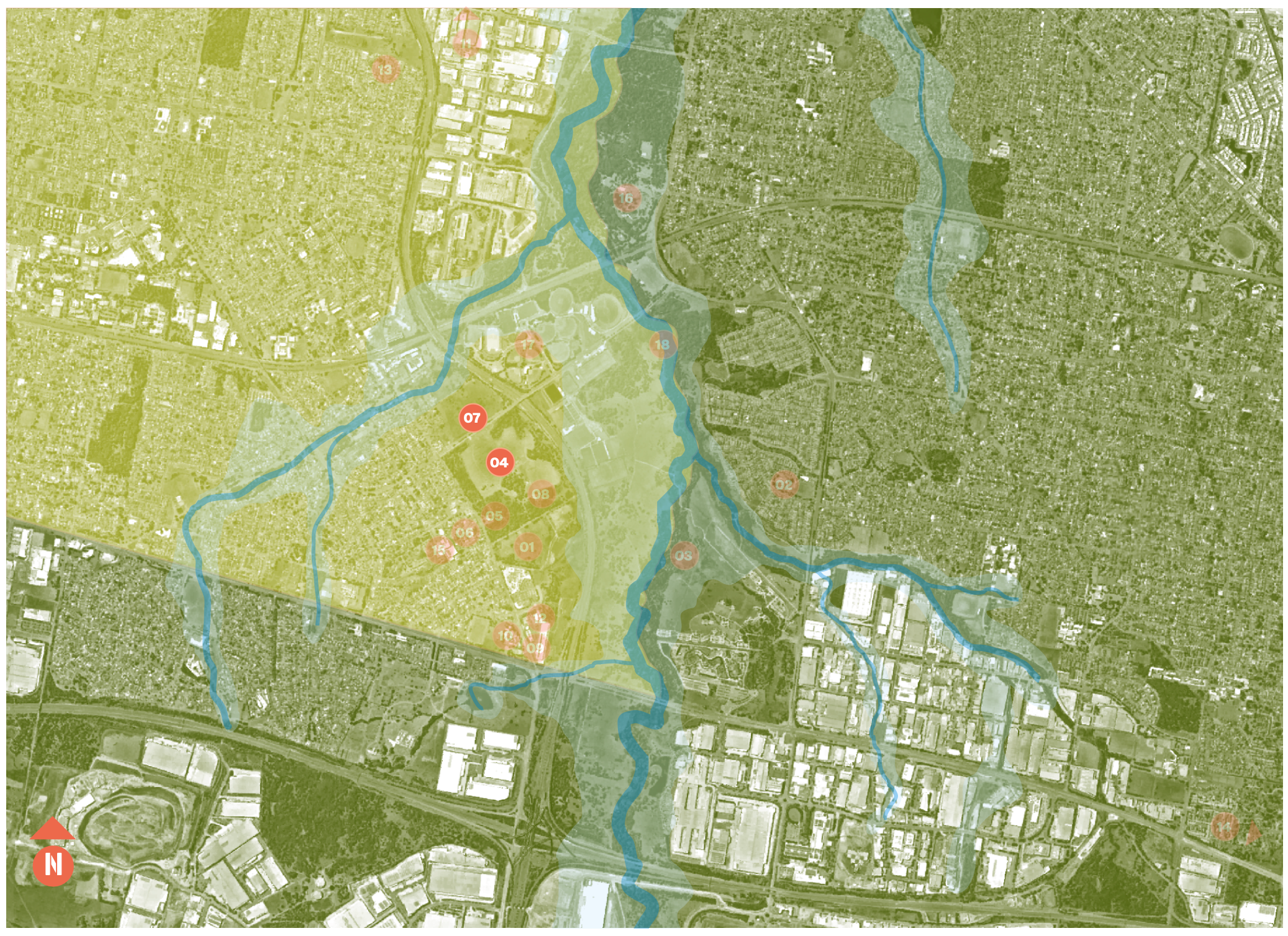
Waterways on Country
The landforms of this Cultural landscape are defined on the eastern side by Eastern Creek, to the centre by the undulating low ridgeline of the Plumpton or Iron Bark Ridge, and on the west by the smaller Bells Creek. Eastern Creek was a faster-flowing, permanent water supply, abundant with food and resources, whereas Bells Creek would have presented a chain of ponds, likely periodically filled with water, perhaps providing a different set of resources.
Oral evidence today describes the central ridgeline as a restricted place. Perhaps it was always a restricted space, traversable only by certain individuals or at certain times. These restrictions could be connected with two further traditional places or resources. The eastern side of the Plumpton Ridge provided surface expressions of silcrete, a valuable and prized commodity used as a predominant artefact-manufacturing material by Aboriginal people from the middle Holocene to the last 1,000 or so years. The upper east-facing slopes of the ridge have cobbles of silcrete, which were excavated and heat-processed on the slopes. The base material was then removed for further processing.
Former Government Depot
In 1802 The Rooty Hill was one of the first four Government depots and stock farms sites selected by Governor King. Dharug people were pushed off land for the depot to be built.
- 4 Church St, Rooty Hill NSW 2766
- Call us (02) 9748 9800
- Get directions via Google
